Drone

Getting Started on Drone Photography

Drones have taken the photography industry by storm and have created a new type of photography that is sought out for a variety of purposes.

Drones come in a range of sizes, have different features and components, and prices for drones vary greatly. If you’re like thousands of other photographers out there and want to jump into the drone phography and videography, then there are a few things to know and to consider before purchasing and launching your new tool into the air.

Here is a Great Article to Get you Going!

1-inch CMOS Hasselblad Camera on the Mavic Pro II

m6mou8u6yoc11.jpg

DJI has yet to announce, but Mavic 2 will reportedly have 360-degree collision detection and sport DJI’s Advanced Pilot Assistance Systems and Active Track 2.0 to assist in flying the drone. The battery life is clocked at 31 minutes.

The DJI Mavic 2 Pro comes equipped with a 1-inch CMOS Hasselblad camera where the Zoom model has a 2x zoom lens.

This is something to watch!

5 Ways We Can Help Farmers this Spring

Throughout the whole growing season, drone images can be a good tool for farmers to make their work more effective. Already in spring, drones can be used in the field to help answer important questions: How was the establishment of winter crops and how has the winter affected the crops? Where do I need to reduce or increase the seed rate next time? Should I change the time of fertilization? Where do I have weed problems?


Drone image showing variations in establishment

Evaluate Crop Establishment

Before winter wheat begins to grow and enter stroke phase, a map based on drone imagery can help evaluate how even the crop is within the field. It can show parts of the field with thinner and denser crop and can serve as a good guide where to look at during the field walks in order to establish the reason for variations.


Variable Rate Fertilizer Application

Drone imagery collected early in the spring can help determine if there are thinner parts of the field that would benefit from early nitrogen application to facilitate the development of roots and side shoots, especially for late sown and slightly sparse stocks.

 
Drone imagery shows variations in crop establishment

Drone imagery shows variations in crop establishment

Variable Rate Seeding

In case drone images capture the variation in crop establishment and/or soil differences, this can be in future used as a basis for variable rate seeding.

NDVI-index from drone imagery shows variations in crop establishment Areas of poor establishment, often on stiffer soil, should be sown considerably thicker than lighter soils, where you may instead get too dense and vigorous crops which may result in crop lodging. Areas with more clayey soil have also generally higher crop potential than areas with coarser soil texture.


Drone image shows weed spread in the field

Weed Control

Drone image shows weed spread in the field With a high definition RGB camera on a drone, it is relatively easy to map weed spread. This information can then be used during the field walks. In parts where the drone images show that the weed spread is low, you may not need to make any treatment at all. It is also possible to create a variable rate application file and thus reduce the use of herbicides, benefiting both the environment and economy.


Inspect Drainage

When the soil dries up in the spring, the drainage system can sometimes be clearly seen, as the soil above the drainage pipes dries up first. Drone images collected on one of these days can be used to make new drainage maps and evaluate how the drainage system works. If the soil type is similar across the field, then the drying should also be fairly even. If the drone maps show areas that dry significantly slower, it may be a sign that something is wrong with drainage system and further investigation may be performed.


Drone images collected at the right point in time can help decide correct nitrogen rate or vary seed rate during sowing and thus achieve more even crops with higher yield potential. We can makes it easy to turn drone images into valuable insights and prescription files that can be directly used in the field.

5 Drone Film Festivals and How to Enter

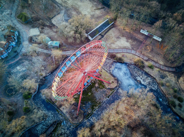
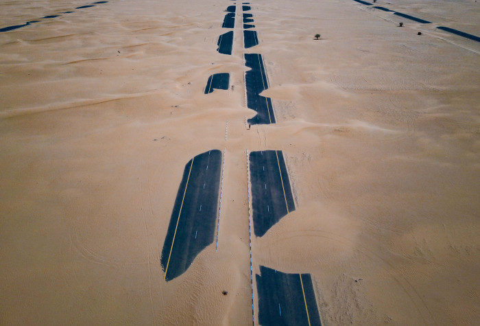
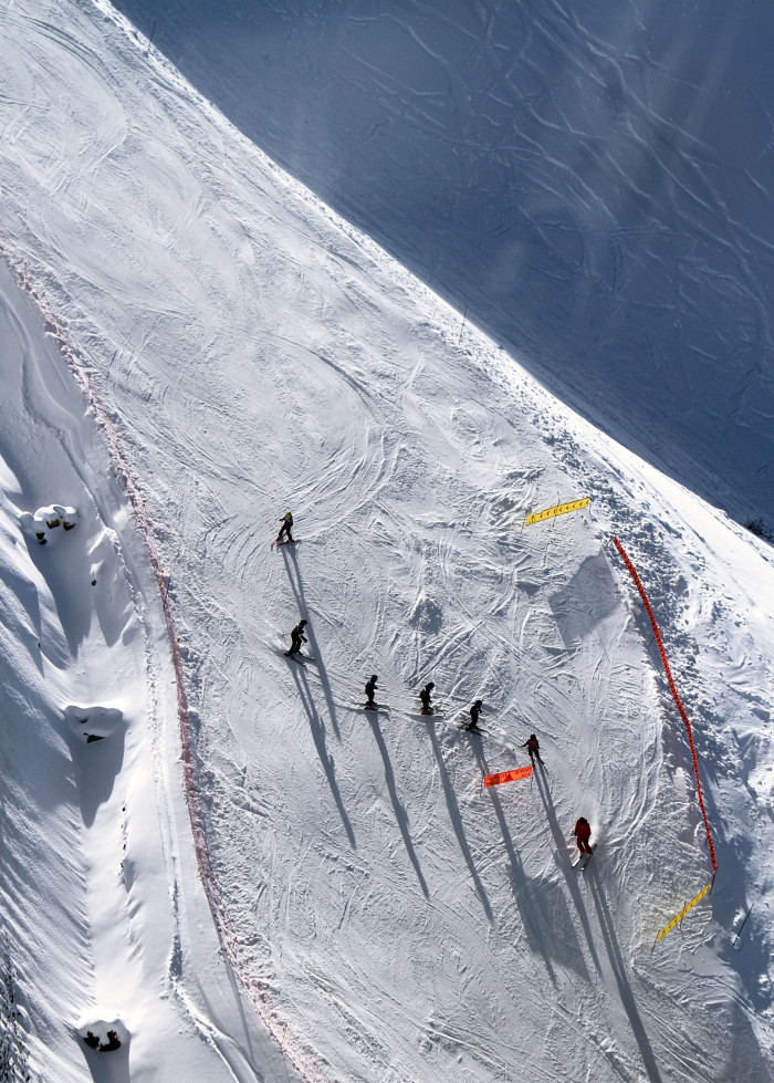
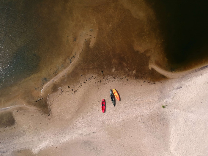
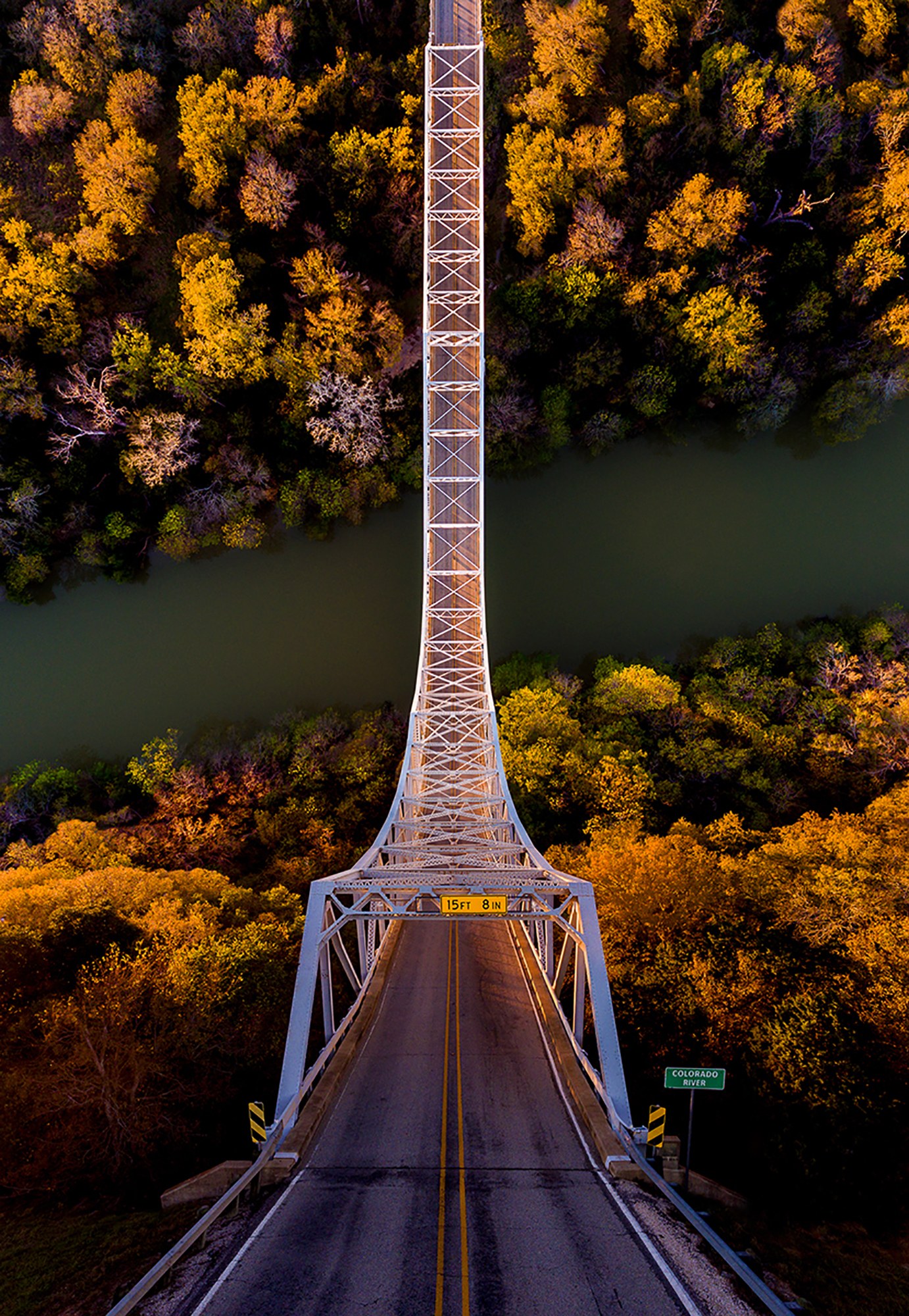
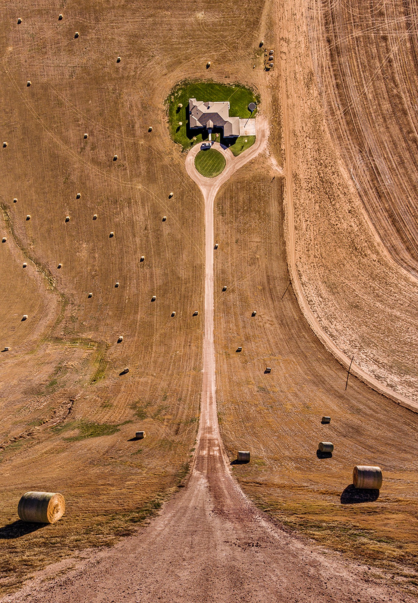
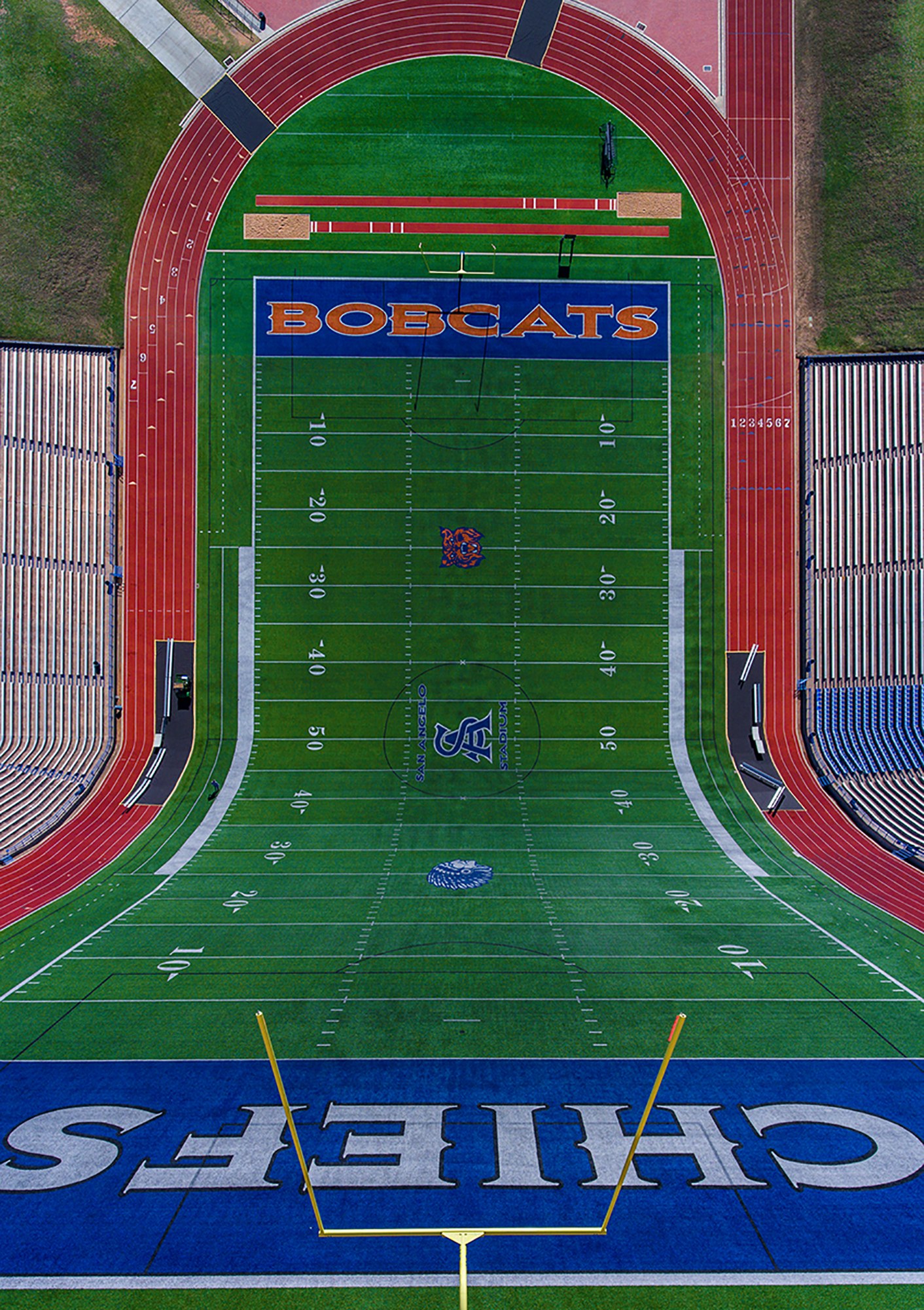
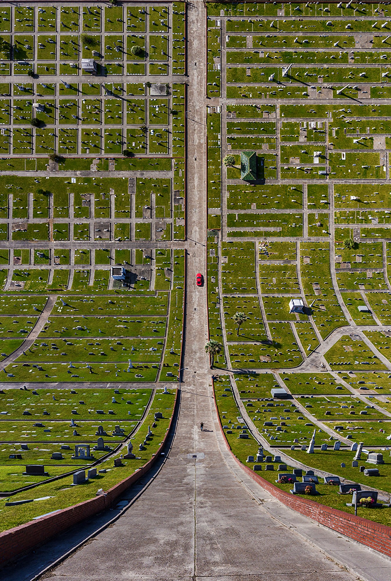
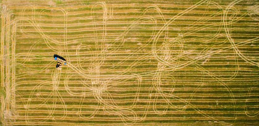
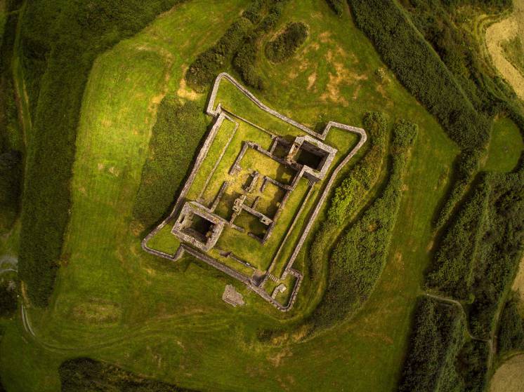
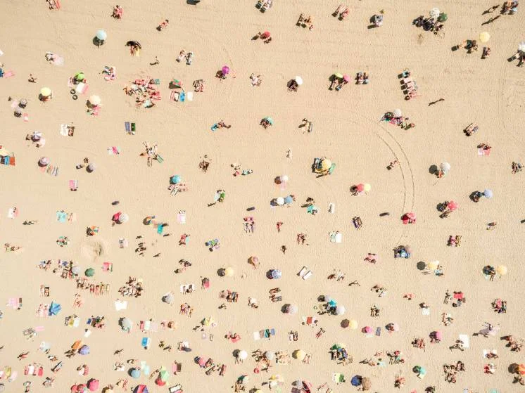
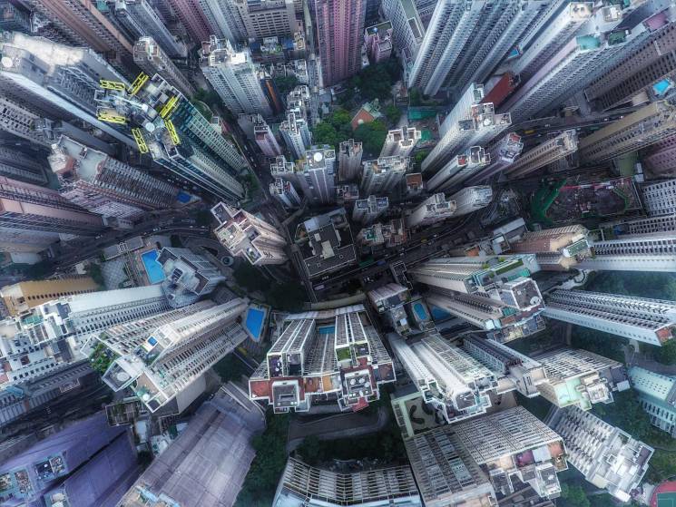
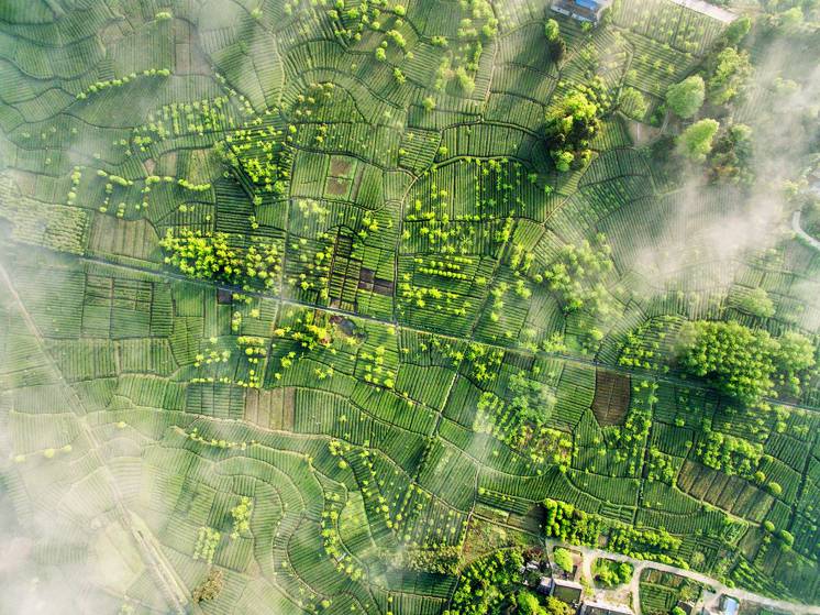
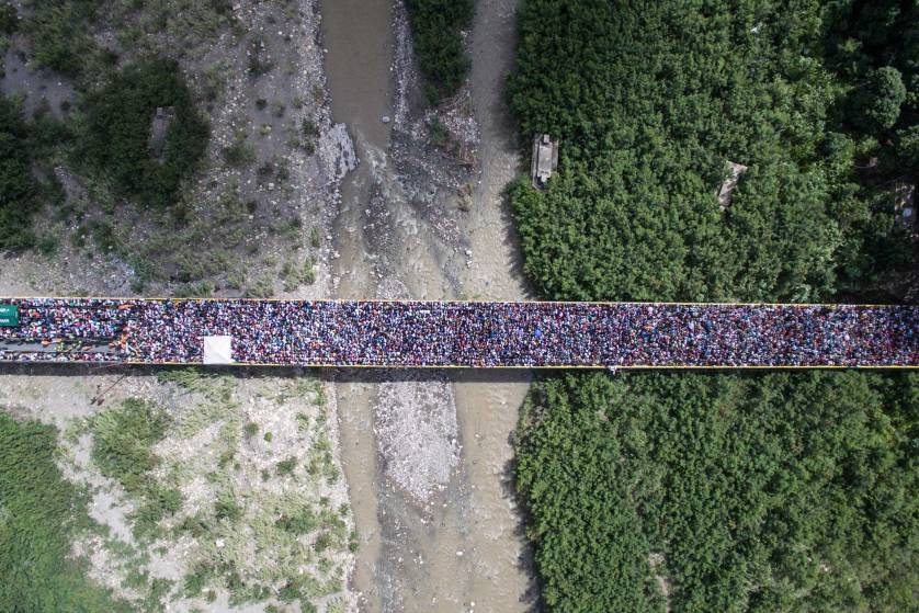
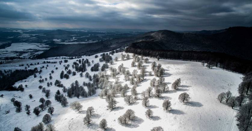
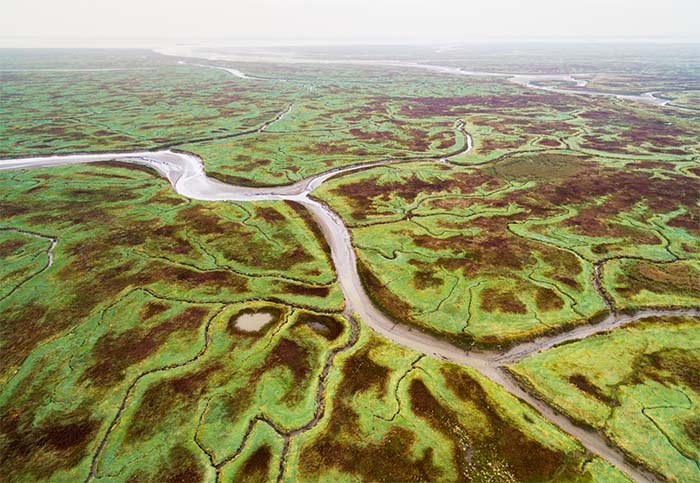
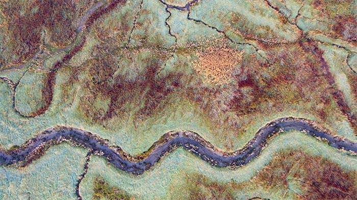
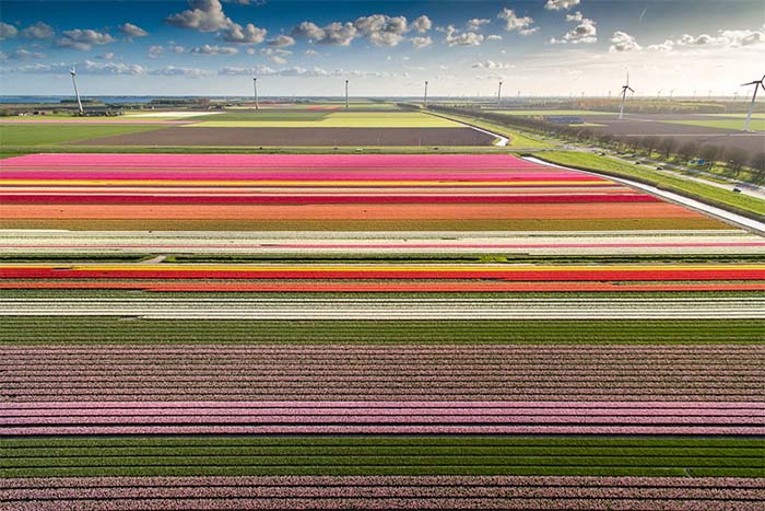
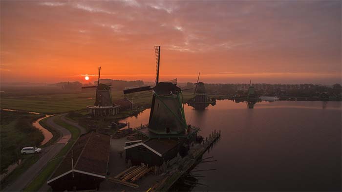
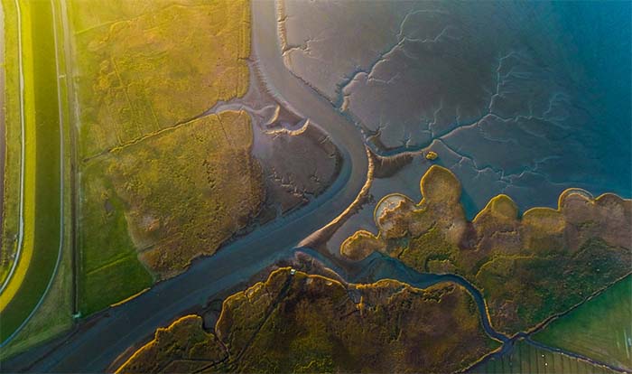
If you’re looking to reach a wider audience, gain some recognition from the press, get inspired, or see your work broadcast on the big screen, entering these competitions is your best bet. You may even win some cash and new drone gear. Here are five festivals I recommend looking into and, even if you’re not a filmmaker, attending.

InterDrone Film Festival

Arguably the largest commercial drone exhibition in the world, the International Drone Conference and Exhibition is hosting its third annual film festival alongside the rest of the event. Submissions have already closed but conference attendees can view finalists on the big screen Wednesday, September 6th from 5:45 – 7:00 pm.

Toronto Drone Film Festival

A major international drone film festival is finally arriving in Canada in late September. Put on by The Sky Guys, it takes place in conjunction with the Second Annual Big Drone Show. Submissions are open until September 15th and are not only free, they’ll also grant a 70% discount to the two-day Big Drone Show conference. Simply input your basic information including a link to the video you want to enter and select the film’s category.

Los Angeles Drone Film Festival

The sister festival to New York City Drone Film Festival (NYCDFF), Los Angeles Drone Film Festival makes its debut this October 6th – 8th. The final deadline for submissions has been extended to September 6th as the festival’s notoriously indefatigable organizer, Randy Scott Slavin, has promised “some exciting news.” This is one of the few festivals that boasts a still photography category. If it’s even half as well-organized as NYCDFF (more on that, below), then it’s worth the steep $50 entry fee and ensuing trip to one of the most populous cities on the West Coast.

Flying Robot international Film Festival

Returning for its third consecutive year to San Francisco’s historic Roxie Theatre, the world’s first-ever international drone film festival is accepting entries until September 18th. Organizer Eddie Codel likes to keep participation accessible to everyone, including students, with a low $10 Early Bird Deadline fee. Last year, Flying Robot international Film Festival (FRiFF) received 180 submissions across 8 categories from 40 countries. FRiFF’s jury is made up an eclectic group of top robotics industry professionals including Star Simpson, Veronica Belmont, Rhianna Lakin, Mike Senese, and Zoe Stumbaugh (ZoeFPV).

New York City Drone Film Festival

The fourth installment of the very first festival dedicated solely to aerial cinematography returns March 2nd – 4th, 2018. Submissions opened on August 20th and close January 7th. I was able to attend the third event, this past March, and was amazed at the quality of films, the spacious venue, knowledgeable panelists, and thoroughly informative master classes. Luisa Winters’ course on Color Correction was my favorite. Festival founder Randy Scott Slavin did a stellar job emceeing the event and moderating talks. For it’s size and scale, it’s efficiently executed from beginning to end.

Read the full article at Dronelife

Flatlands - Surreal Images by Drone

Büyüktaş uses a drone, 3-D rendering, and Photoshop to create a warped view of the world in Flatlands II. He pulled the same trick two years ago, turning his hometown of Istanbul into a mind-bending world that brought to mind the work of M.C. Escher. This time, he focused on the American Southwest. “The area is like heaven for a photographer,” he says.

Why a Farmer Should Hire a Drone

What in the world would a farmer do with a drone?

Quite a bit actually, the limit is 400' and your imagination.

  • Check crops, irrigations, ditches, grain bins, & animals
  • Record drainage tile, problem areas, and mark wet spots
  • Train new recruits with a new perspective to show them the ropes
  • The list goes on and on but the most important thing is that if you are a farmer, you need to hire a drone!

Watch a Film Shot Entirely on a Drone

DJI released “The Circle,” a 14-minute short film starring Ryan Phillippe and Noah Schnapp (Will Byers from Stranger Things) as an estranged father and son (respectively) in Depression-era America.

The Circle was shot entirely on the Inspire 2, using the drone’s X5R camera for every shot in the film. It was created by Academy Award-winning cinematographer Claudio Miranda, known for his work on “Life of Pi,” “Oblivion,” and “Tron.”

See the behind the Scenes

Seven Ways to Use Drone Mapping on the Farm This Season

As one ag industry expert put it, using a drone on the farm is like being able to see your field from a 10,000-foot altitude, but also being able to zoom in to two inches above the plants. Growers are increasingly discovering that drone mapping is an invaluable tool, both for its ease of use, and for its many applications on the farm.

1. Crop Scout to Detect Parasites and Fungi

Using drone mapping to pinpoint plant health issues such as parasites and fungi.

2. Compile Plant Counts

One of the most exciting uses for drone mapping in agriculture is the ability to conduct complete, accurate plant counts.

3. Analyze Stand Establishment

In addition to plant counts, corn and soybean growers are using drone mapping to analyze stand establishment of newly planted crops to decide whether they need to replant certain areas.

4. Generate Variable Rate Prescriptions for Nitrogen and Pesticides

Drone maps provide a rich amount of data that can be used to make more informed decisions about issues like crop reseeding and targeted nutrient applications.

5. Assess and Clean-up Damage After a Storm

Generate a detailed Skymatics crop damage report

6. Negotiate Fair Crop Loss Percentages

Detailed information provided by drone map, gives an adjustor a second look at targeted areas and ultimately offere a far higher loss percentage.

7. Assess Slope and Drainage After the Harvest

Drone-generated elevation map can give a sense of the slope and drainage of a field. Paired with volume measurement tools, growers can plan the cut and fill of future terraces and waterways.

Read More

Drone Captures Volcano Eruption In Iceland

It’s an interesting time for photographers, with previously unavailable technologies allowing them to capture breathtaking never-before-seen imagery. The footage below captured by drone manufacturer DJI is one such example.

Too dangerous for a manned aircraft, a drone was the safest bet when a DJI team decided to capture footage of the erupting Bárðarbunga volcano in Iceland. Geophysicist for the National Icelandic Civil Protection, Bjorn Oddsson, told ABC News, “The volume of the lava is the largest we’ve seen in Iceland for 230 years.”

And check this out: the camera flew so low into the fissure that the GoPro camera attached to the drone literally melted — its lens turned into a jelly blob on the front of the camera body (though luckily, the SD card was salvaged). Because of DJI built-in technology, the device was able to detect trouble and fly itself back to a landing point, saving this magnificent footage from being lost in the belly of the volcano.

Benefits of Using a Drone for Building Inspection

drone_inspection2.jpg

Proper building maintenance means doing regular, visual inspections of the exterior. The problem is that sometimes it can be difficult to see parts of the outside of the building, particularly if it is more than a few stories. Even a roof inspection on a one-storey home would be impossible without climbing up and taking a look. Keep Reading

Learn why Project Managers on Construction Sites Consider Drone Mapping an Indispensable Tool

Keep Your Construction Project on Track with Drone Mapping

More and more, project managers are finding drone mapping to be an indispensable tool during all phases of construction. Easy-to-use software allows them to create high-resolution orthomosaic, elevation and 3D maps in a matter of hours. Combined with built-in measurement tools and annotations, they can keep real-time tabs on projects and identify potential issues before they become costly. Cloud-based maps make sharing and collaborating with everyone from site engineers to project owners simple. Executives and offsite stakeholders stay informed and, because drone mapping is cost-effective, they see a return-on-investment almost immediately. Keep Reading

How Drones Will Reshape the Enterprise

Thanks to technological breakthroughs — including longer and safer flights — and new federal guidelines enacted this year, drone use is expanding beyond military and consumer markets and is seeping into the enterprise. Analysts at PwC forecast the emerging global market for drone-powered business services to be valued at more than $127 billion.

Drones are making a real impact on a number of industries, and quietly transforming the enterprise as we know it.

Read More