
Trully specacular aerial drone video of the Pyrenees in the fall by capsusfilms
Drone Flies Over Erupting Volcano Live
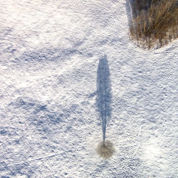
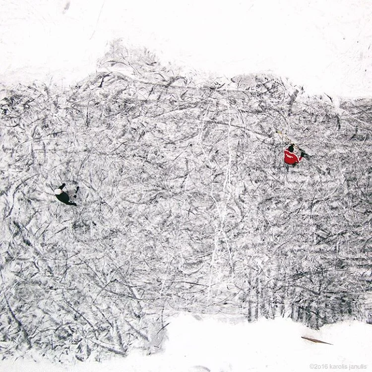
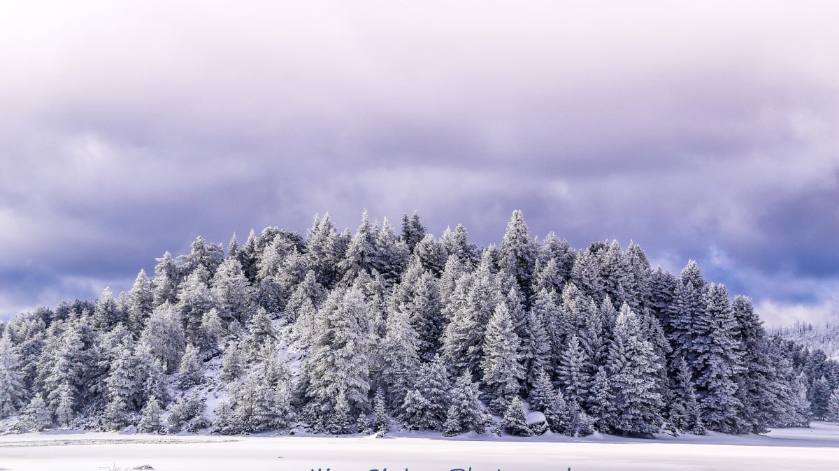
Drone photography Captures Winter in Lithuania


Incredible Drone Photos from Across the Globe that would be Illegal Today


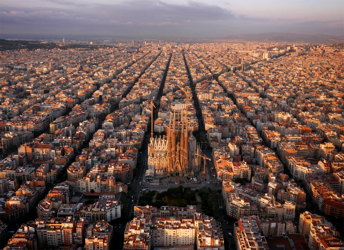
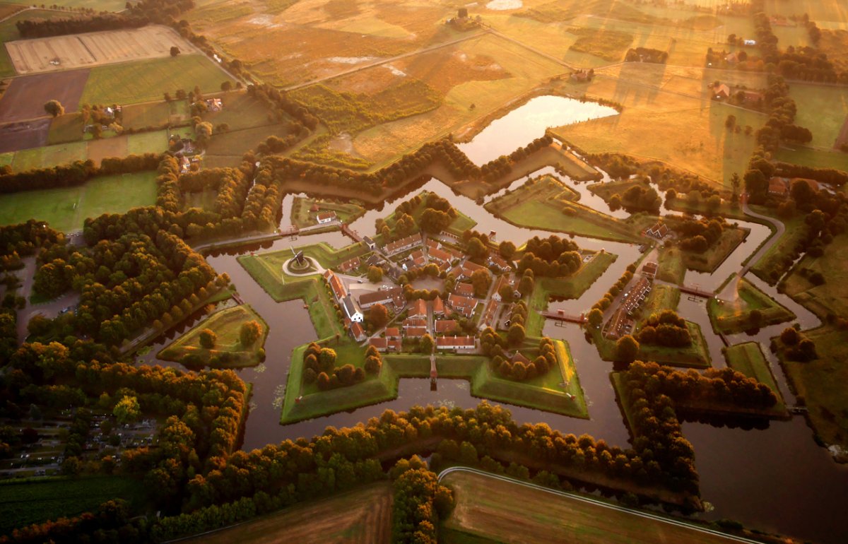
Now, with countries placing greater restrictions on aerial drone use, this collection of images are some of the only aerial photos of their type. Check out more on Chapples site.
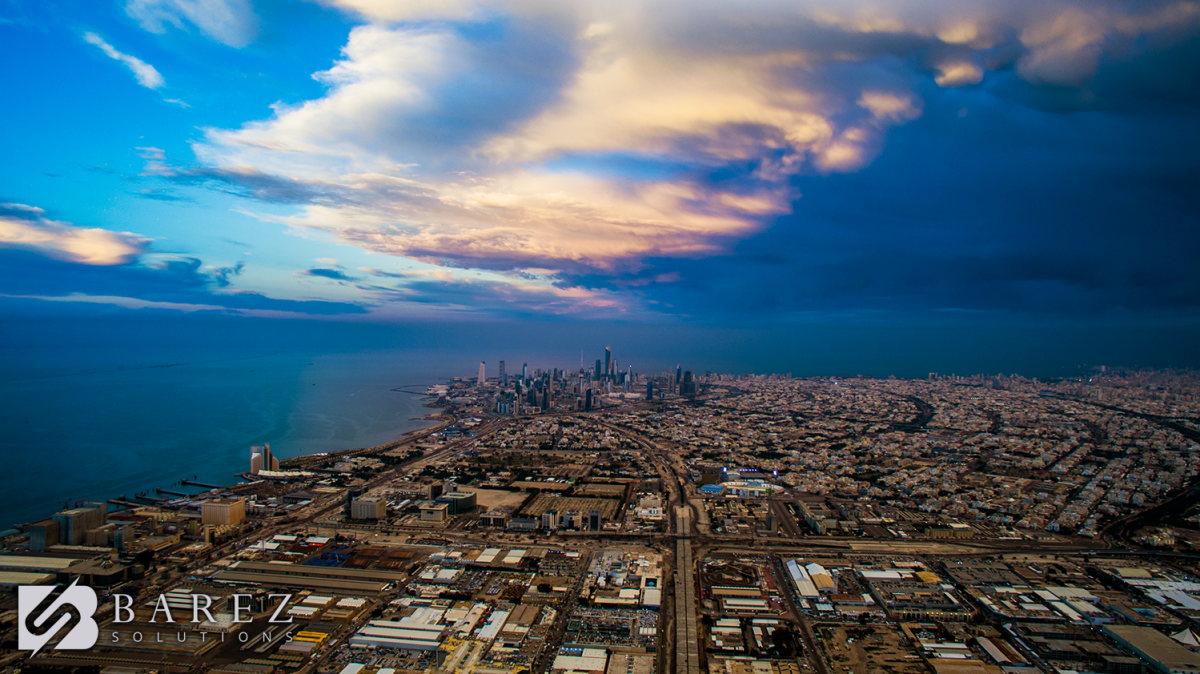
Travel by Drone

An great site that puts together aerial drone video based on location. Alowing you to search anywere on the globe and see it from a drone perspective.
Amazing Drone Footage of Reindeer Migration
Aerial Drone video of 3,500 reindeer on their migration from Norway to Finland.
Today is the last day to comment on drone registration
Drones Aren’t Just Toys Anymore
WIRED has a great article about the stait, and potintal, of drones today.
Like aerial photos? Then check out dronestagr.am
Its like instagram, but for drone photography and videography, and its pretty cool.
What a One Hundred Drone Light Show Looks Like
One hundred drones performing an amazing light show above an orchestra playing Beethoven's Symphony No. 5 just broke a Guinness World Record for Most Unmanned Aerial Vehicles (UAVs) airborne simultaneously.
Though the exhibition took place in November 2015 at Flugplatz Ahrenlohe in Tornesch, Germany the video was released this month.
Drone photography is changing how we approach real estate
Aerial photos and video shot by drones are adding a cutting edge element to the luxury real estate market, giving a field that is already highly competitive a touch of Hollywood style production.
DJI & Ford build a rescue drone that launches from a moving car

DJI announced version 3.0 of its software development kit, or SDK. That's probably not very interesting to you, since most people aren't in the business of building apps to interface with drones. But to help spur developers into working with its SDK, DJI also creates an annual challenge with a cash prize. This year the competition has a very cool and noble theme. DJI is partnering with Ford and the United Nations to offer $100,000 to the team which builds the best application for launching a drone from moving vehicle as part of a theoretical search-and-rescue mission.
Drone gives Plant City strawberry farms an edge

A drone can help save money on production and reduce a farm’s carbon footprint.
We're in the News Again
Sky Squirrel was featured in WFFT Fort Waynes Locally Made Monday
Drone used to Navigate Treacherous Waters
Australia's flagship icebreaker has for the first time used drone technology to navigate treacherous Antarctic waters, overcoming significant technical hurdles, officials said Wednesday.
The Aurora Australis is on an annual resupply voyage to Australia's Casey research station with images of sea-ice conditions from the quadcopper drone helping navigation decisions.
The Australian Antarctic Division said the unmanned aerial vehicle (UAV) was proving to be a valuable addition to the current suite of sea-ice navigation tools, which include satellite imagery and radar. But it has not been plain sailing in the sub-zero conditions. "The electronics do not like snow, the batteries do not like the cold, and the drone's compass did not like the ship's thousands of tonnes of steel," Australian UAV director James Rennie said.
"Because the compass couldn't calibrate on the ship and its need to work alongside the unit's GPS, there was potential for the UAV to behave unpredictably. "We found that by disabling the GPS and flying the drone in full manual mode enabled the drone to operate successfully and deliver the required footage."
Australian UAV director James Rennie, seen with a quadcopter drone on the deck of the Australian Antarctic Division ice-breaker, Australian UAV director James Rennie, seen with a quadcopter drone on the deck of the Australian Antarctic Division ice-breaker, the Aurora Australis, on December 23, 2015.
The drone carried out five missions during the nine-day voyage to Casey, with a decision on its more permanent use for navigation to be made after a review of the inaugural flights.
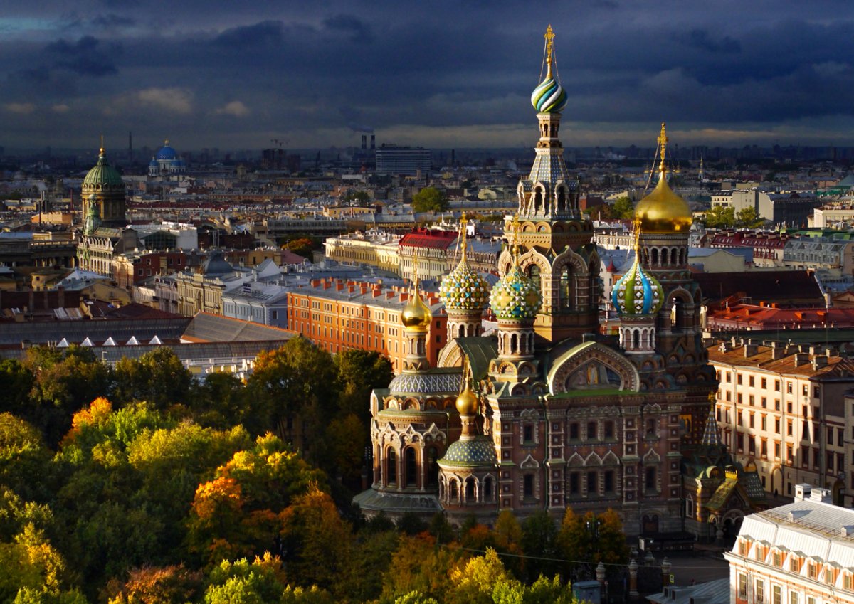
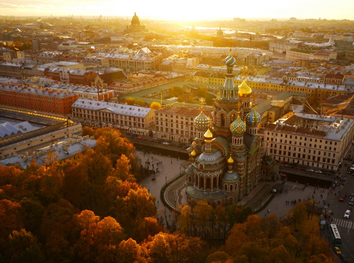
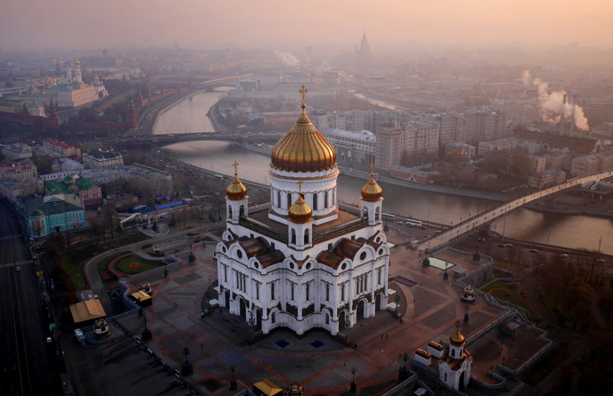
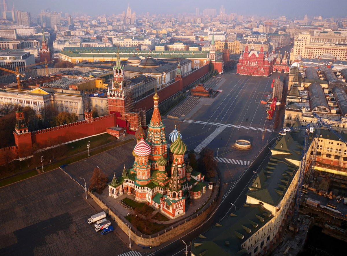
The ‘new’ seven wonders of the world captured by drone photography are amazing
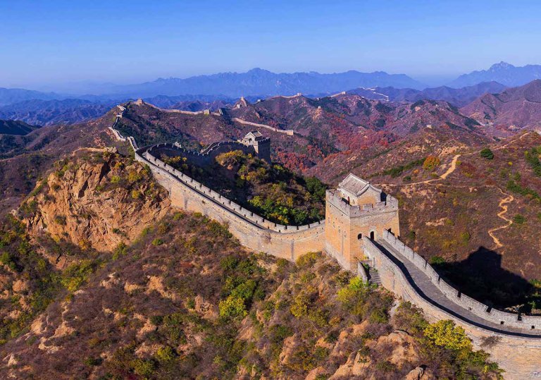

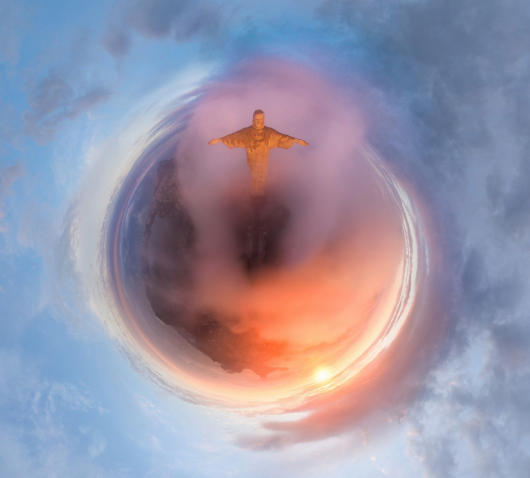


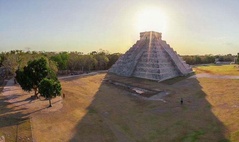

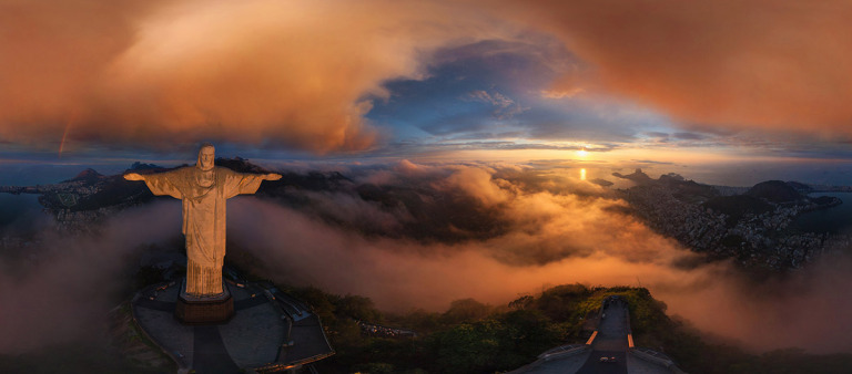
Drone photography is allowing us to change the way in which we see the world.
It’s allowing us to gain new perspectives on places that have existed for hundreds, even thousands of years. Which is pretty amazing, as these images from AirPano show.
As of today, all drone owners are required to register their aircraft with the federal government.
The Federal Aviation Administration (FAA) announced its mandatory registration program last week, just in time for the holidays.
According to the FAA’s new rules, all consumer drones weighing between half a pound to 55 pounds must be registered. New drones must be registered before flight, however, drone owners who have operated an aircraft prior to Dec. 21, have until February 19, 2016 to register their device.
Owners are required to share their name, address, and email in order to receive a Certificate of Aircraft Registration.
Registration can be done on the FAA’s website, however, at the time of publishing this story the registration page had not yet gone live.
There will also be a $5 registration fee, but the FAA is waiving the fee for the first 30 days registration is open.
Those who do not register their drone are subject to civil and criminal penalties, which could include fines up to $250,000 and/or up to three years of imprisonment.
In addition to registering your drone, the FAA is urging owners to keep in mind the following rules when taking their aircraft out for a spin:
Fly below 400 feet altitude.**
Keep your unmanned aircraft in sight at all times.
Never fly near manned aircraft, especially near airports.
Never fly over groups of people, stadiums or sporting events.
Never fly near emergency response efforts.
Watch a Drone Paint Gigantic Long Exposure Portraits in the Sky

The folks at Ascending Technologies strapped a color-changing light to a computer-controlled drone to create a series of massive holiday light paintings in the sky. Pretty cool.
Do You Need to Register?
Drone photography changing the face of real estate
Technology is changing every aspect of our life so it’s little wonder it’s also changing the way we look at real estate.
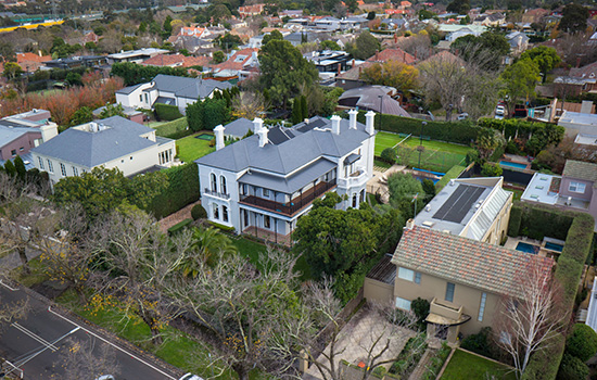
Agents and vendors are turning to emerging technology in video, 3D-imagery and drone photography to show prospective buyers properties from a whole different angle.
Drones, or unmanned aerial vehicles (UAVs), are increasingly being used to provide a better overview not just of the property, but also of the surrounding area.